

GeoFly GeoShop
Precise geodata. Configurable online.
ISO certifiedInstant download
Our geodata products

Your geodata in 3 steps
No account needed for your first search. Simply select an area, choose a licence and download instantly.
1
Choose your area
Draw your area of interest directly on the map.
2
Select product & licence
Choose product type and licence model (Web / Print / GIS). The price is calculated automatically.
3
Pay & download
Pay conveniently via PayPal or invoice. Your data is available for download immediately.
Frequently asked questions
Which resolutions are available?
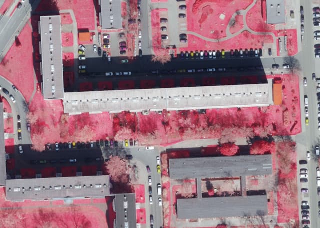
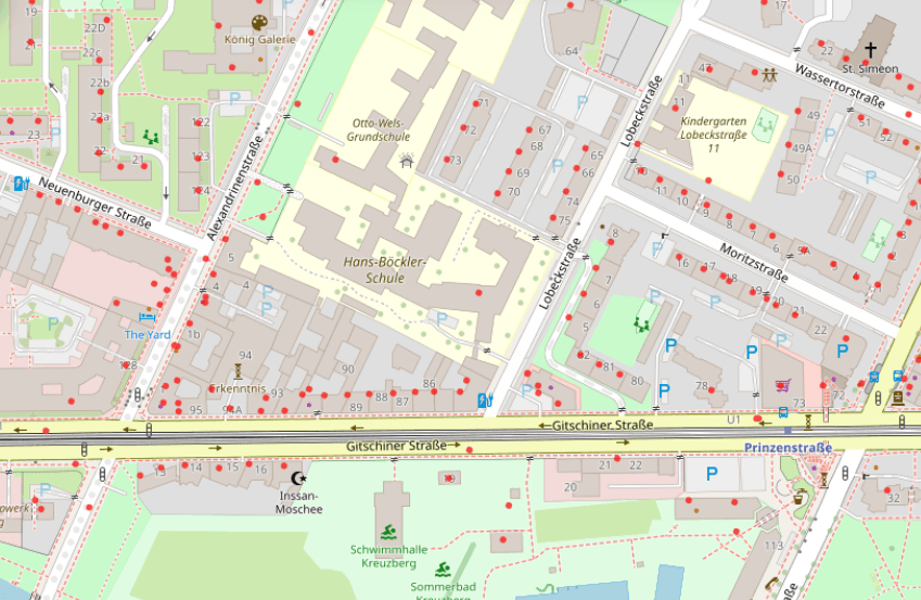
We offer area-wide data at 20 cm GSD as well as high-resolution data for selected cities at 5 and 10 cm GSD.
Which coordinate system is delivered?
The default coordinate system is EPSG:3857. Other available systems: EPSG:25831, EPSG:25832, EPSG:25833, EPSG:31466, EPSG:31467, EPSG:31468. Other coordinate systems are available upon request.
How up to date is the data?
The aerial survey data is updated regularly. You can see the exact capture date in the product detail view before purchasing.