
Products
Choose a product and define the area of interest (AOI) for your export.
 Digital orthophotoNadir orthophoto cutout for web/print/GIS (JPG/PNG/TIF).
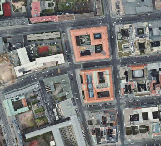
Digital orthophoto
Nadir orthophoto cutout for web/print/GIS (JPG/PNG/TIF).
Listing & surroundingsConstruction / planningDocumentation
 Infrared orthophotoIR orthophoto (vegetation / sealed surfaces) for analysis and documentation.
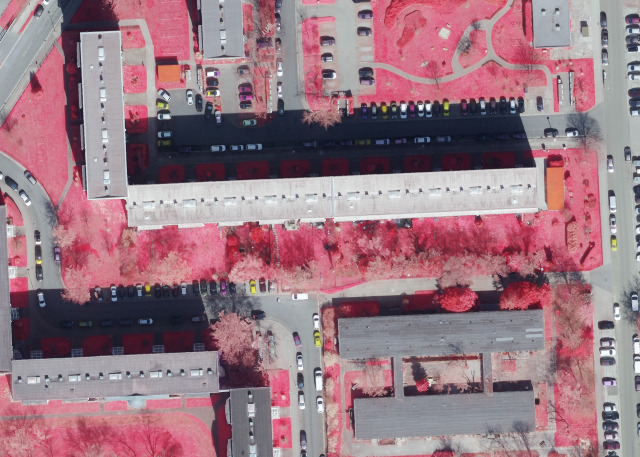
Infrared orthophoto
IR orthophoto (vegetation / sealed surfaces) for analysis and documentation.
Green areasSealed surfacesContext analysis
 Oblique aerial imageOblique aerial imagery from four directions as packaged views (JPG/PNG).
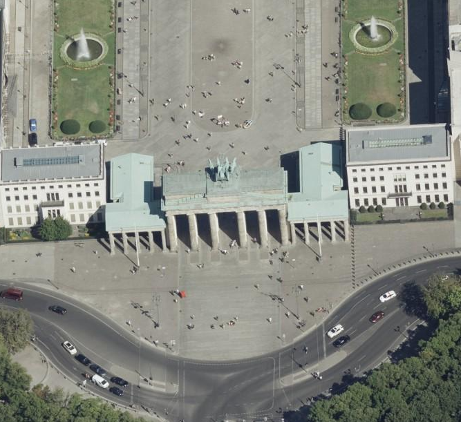
Oblique aerial image
Oblique aerial imagery from four directions as packaged views (JPG/PNG).
MarketingObject viewsLocation / topography
 Address dataAddress points (CSV/SHP) as download — Basic/Standard/Extended packages.
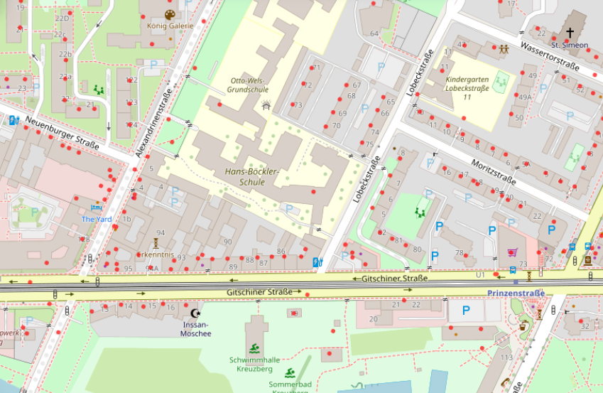
Address data
Address points (CSV/SHP) as download — Basic/Standard/Extended packages.
Lead listsCatchment areasSite analysis